July 3-7, 2013
As the Fourth of July fell on a Thursday, my work had an unpaid shutdown day on Friday since most people would be taking it off anyway. I took advantage of this four-day weekend to travel for some climbing. I had thrown around the idea of climbing at the Incredible Hulk in the Sierra’s of California with Matt and Eric. However as the weekend go closer Eric dropped out and I really thought that it would be better to not drive close to 10 hours and do a substantial hike. My friend Mark of Coffin Roof fame, suggested Elephant’s Perch in the Sawtooth Mtns of Idaho. He described long alpine routes and an idyllic setting of jagged peaks, aquamarine alpine lakes, and uncrowded climbing. I had to look up the Perch as I’d never heard of it before; from the pictures it looked like Mark knew what he was talking about.
Wednesday night I headed up with my buddy Joe from Salt Lake on the 6 hour drive. Joe has what some might consider a dream job. He works remotely as a software engineer for a regular 9-5 type job. But since he’s hooking in remotely he can travel the country and work from anywhere that has a decent internet signal. This freedom allows him to chase the warm weather and climb year round while visiting friends.
We wound our way northward on largely empty roads into the southeast corner of Idaho. Around dinner time we stopped in Twin Falls for some food and decided to eat at a middle eastern fast food joint. The owner, Joe, waited on us and proudly joked that “if you don’t like the food, I’ll shut the place down.” With an endorsement like that how could we go wrong? After ordering Joe proceeded to talk our ears off through a thick Arab accent while we ate. He traversed many topics from the difficulties of hiring reliable workers, cost of living in San Diego versus Twin Falls, legal issues with contractors, not suing people, his alarming disdain for blacks, him personally speaking with God (not Allah, he’s Christian), and finally leaving us with driving tips such as keeping a bucket of ice in the front seat and holding an ice cube to your forehead to remain alert. We spent nearly an hour there and closed the place down.
Moving along we finally got of the interstate and headed on the side roads to Sun Valley and Ketchum, ID. Desert turned to high desert and faintly as night descended we drove into the forests of the Sawtooths. As we neared Stanley, our entrance location to the climbing, we pulled off a dark dirt road looking for a place to camp for 6-8 hours. We found one and pulled into a good spot. Opening the door my nose was filled with an overwhelming smell of pine and freshness. While there are pine trees in Salt Lake, it is so dry that they don’t have much aroma. Here it was an amazingly welcome change.
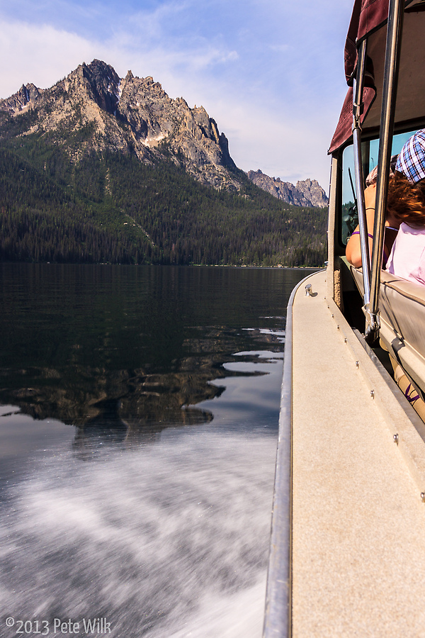
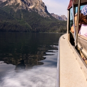
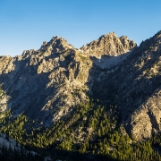
The next morning we headed, with some confusion to Red Fish Lodge to pick up a boat ride across the clear and deep Red Fish Lake. This quick and cheap, $16 round-trip/person, ride cut 5 miles of hiking off our approach. The ride got us some great views of the jagged granite peaks and spires. Only one looks was needed to see why they’re call the Sawtooths. As we de-boarded we headed out on the trail through the picnic area on that side of the lake. Hiking deeper into the woods we were a little surprised at the terrain. Based on the crude maps we had available to us (we hadn’t seen any at the trailhead) we should be on the right side of the river flowing from the mountains; however our trail put us on the left side. Continuing to a small pond and waterfall we ran out of trail. At this point we realized that we needed to walk the mile or so back to the picnic area as we must have made a wrong turn. This was just one instance of getting off route on this trip.
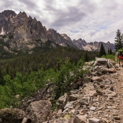
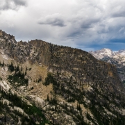
Finally back at the picnic area we found the quite obvious main trail and map at the trailhead. This trail wound through the woods, fields, and meadows on an easy trail. All the while we got great views of the Grand Mogul, the peak at the end of the lake. Snow still clung to the deeper couloirs and gullies. It was quite obvious this might be an interesting winter objective. None of the information I found on the area discussed pure ice routes but a number of moderate snow climbs are established in the area. I might have to come up here this winter for some moderate climbing, but likely cold conditions.
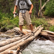
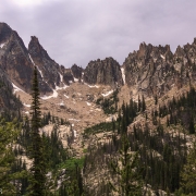
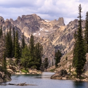
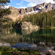
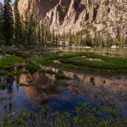
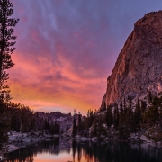
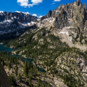
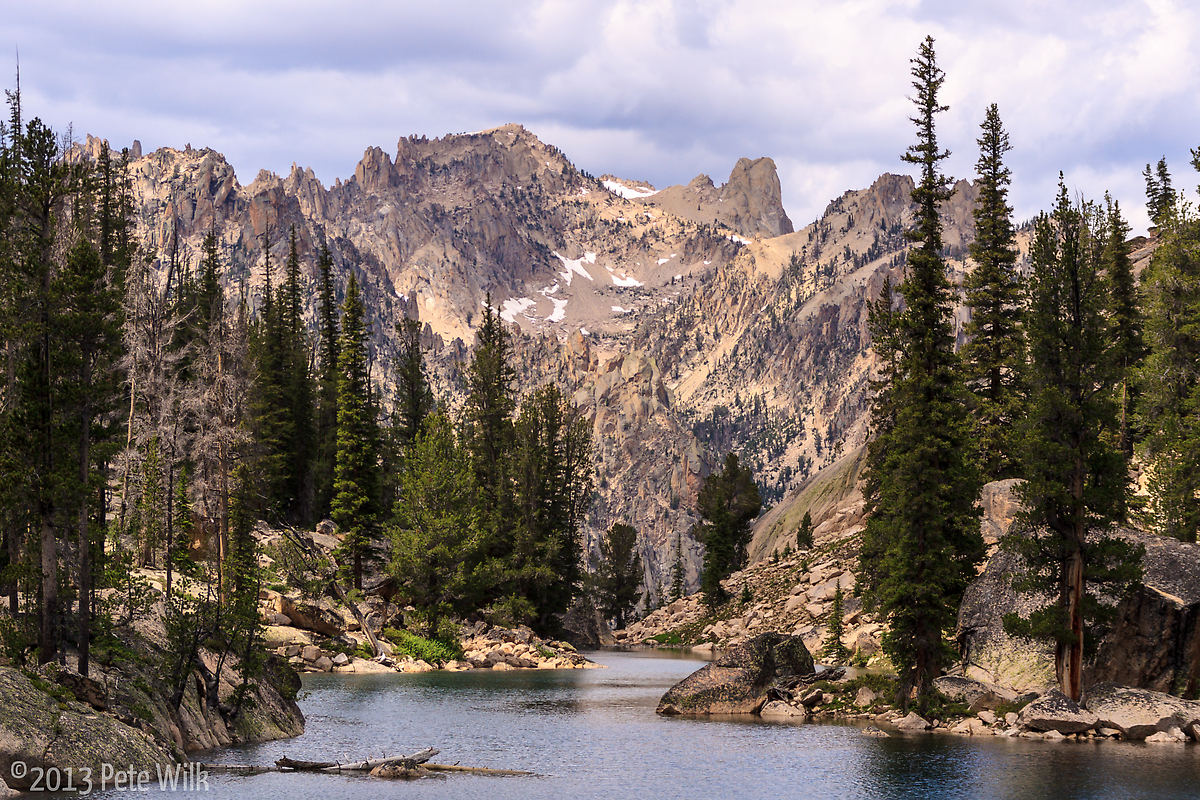
We pulled left off the main trail at about two miles in. Here we crossed the river via some logs spanning the flow. While not very deep it would not have been a fun drop into the white water. Across the river the trail became less obvious and much steeper and more rugged. The trail lead us upward to the hanging valley the Saddleback Lakes are nestled in. These lakes are three small lakes formed by the rocky terrain, past glaciation, and the snow melt coming from the mountains towering above them. After a mile (and some debate as to the correct trail) we arrived at three aquamarine, clear, alpine lakes in perhaps one of the most beautiful places I’ve visited. The sun shown through the thin pines and reflected off the clear water welcoming us to our home for the next few days.
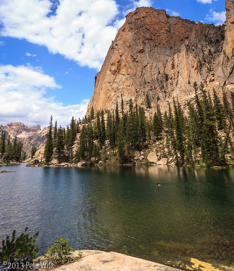
Camping here is all primitive and backcountry. No reservations, assigned campsites, toilets, trash bins, or crowds. What it did include was solitude, without feeling completely alone as there were a few other parties around the area. The other, somewhat unwelcome inclusions were aggressively fearless chipmunks looking to steal your food as soon as you turn your back and mosquitoes. While I’ve never been overly affected by bugs I’m certainly not immune. My saving graces are that I’m from New England and therefore understand what buggy really means, and that while I may get bitten I don’t puff up for days afterward. I’m usually hesitant believe someone’s assessment of a place being buggy while I’ve lived here in Salt Lake. After all there aren’t any bugs here so any little flying thing will be “horribly buggy” to someone from here. This was my first assessment of our camp, however as night began to fall they really came out in force. It was truly buggy, even for a New Englander. Thankfully they were tiny mosquitoes and fairly sluggish at the 8275 ft altitude.
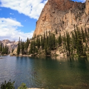
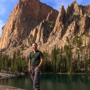
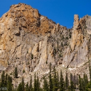
Our planned objectives were The Fine Line (5.11a) and Direct Beckey (5.11a). These two routes ran up the massive Elephant’s Perch hovering over the lakes. The huge orange granite bulk is an amazing piece of rock. It has a much more robust character than many of the jagged spires around it. Cracks, corners, and flakes spotted it’s surface all the way to the summit, out of view. The Perch has few routes under 5.10. From Mark’s description these two were some of the best lines on the formation.
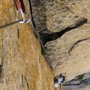
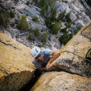
Friday morning we headed across to the base of The Fine Line and arrived a little before 7am. The cliff faces primarily south and west so it would be after lunch before we were in the sun; luckily it wasn’t very cold overnight. The first pitch of the route is the crux. Joe headed up and after getting about 30 feet off the ground he found the death flake that threatens the beginning of this 10 pitch route. I’ve encountered hollow flakes and things that you didn’t want to grab for fear they’d fall off in your hands. However this flake upped the game. The dagger shaped flake, approximately 5-6 inches thick and three feet across at its top, was literally floating on the face. No warnings are visible until you touch the flake. It rocked with just the slightest touch. An enticing .75 Camalot sized crack behind it is quickly erased from the option list for protection and handholds as it nearly swings in the breeze. It is amazing this flake hasn’t fallen off or been trundled as of yet. It is good for nothing except scaring the bejeezus out of climbers and their belayers.
Joe worked his way up to the flake and on seeing its condition decided to aid passed it using some ancient bolts probably installed back in the 1970’s. After trying some more moves and then aiding passed Joe finally reached the belay and hour and twenty minutes after he started–a sign that our chances of getting to the top in a decent time were unlikely. I followed up and similarly aided passed the flake. Once at the crux I tried the moves a little and while I can do 5.11a moves, perhaps not clean, but can do them, I decided that this 5.11a was closer to 5.12 than anything–also not a good sign.
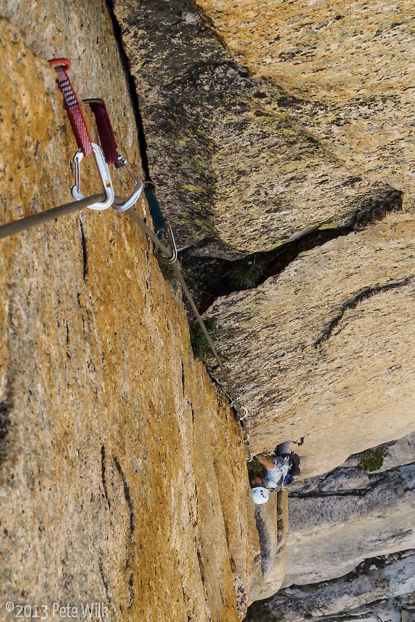
The next pitch, a long right facing corner of finger size crack was all mine. While this pitch was great, I’m a fan of finger cracks, it was brutal. There was only one really good rest. After about 20 feet up the good feet on the right side disappeared into blank smearing on vertical granite. The crack took excellent pro and it is a good thing since I probably placed 12-14 placements in the 110 ft pitch and hung 3-4 times.
Joe lead the third pitch which finished with a wide section with a hidden finger crack inside for protection. By this time our clear morning had turned into a mostly cloudy early afternoon. The fourth pitch involves a small traverse left and then back right along a flake. As I headed up the pitch I headed towards some fixed anchors that seemed to make sense. While on my way to them I had to negotiate a small overlapping flake with underclings changing into a tight finger crack. I placed a .75 cam and shook out at the rest. I saw that the next few moves would be difficult tight fingers and few feet. As I headed up I reached high with my right foot and cranked upwards on small fingers for the next handhold. All of a sudden I was falling. My right foot had lost it’s purchase on the high tiny edge it was on. I’ve never fallen on trad gear before anywhere, much less in the mountains. Thankfully it was a clean fall on vertical stone and I wasn’t hurt at all–only my ego.
I got passed this section and clipped the fixed anchors and moved upwards along secure but detached flakes. After getting to the pinnacle of these I saw that I was more or less stranded. It was a 15-20 foot down climb to a crack to the right or a doubtful looking crack to the left. I debated for a while and looked at the route topo and photo I’d taken the previous day. Eventually after some discussion with Joe I went delicately back to the fixed anchor and lowered back to the belay. Joe headed up and did basically the same thing. At this point we’d been on this pitch forever, perhaps two hours. The mostly cloudy day turned into all cloudy and dark ones at that. Joe insisted that the path lay to the left and I disagreed. Eventually the weather made our decision for us. The rain we could see off in the distance started falling on blustery winds. Joe came back down and we headed down. Unfortunately there are few fixed anchors on the route and we had to leave some of our gear, luckily only nuts to do the three rappels to the ground. Our spirits broken from getting our asses handed to us on “just 5.10” climbing we did the walk of shame back to camp.
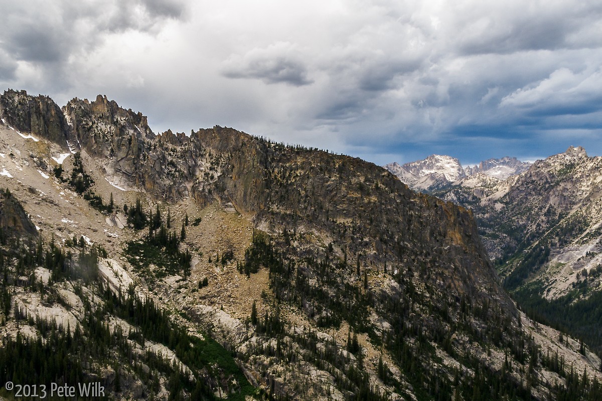
The rain passed and the afternoon turned nice but we had no time nor energy to go back up the route that day. We decided that Direct Becky would be a bad choice for us as it is more sustained and 2 more pitches in length than The Fine Line. Therefore we decided we’d head back up and try to do the route again the next day.
The next morning we headed back. Opting to swap pitch order I didn’t bother trying to free the first pitch and aided it all just to get it over with. Joe did the same. He headed into the second pitch and unexpectedly popped off and fell. Again it was a steep route and clean fall so we continued. I was a little worried about the third pitch and its wide section near the top. I knew the protection was there but I was worried about being in a good stance to place it. Luckily the pitch protects well below that section and I was able to lace it up and even got the hidden piece in the wide section. Not my most elegant lead but I got it.
On the fourth pitch, our previous high point, our assessment of the route after we bailed from the ground paid off. Joe headed directly right and bypassed the garbage I’d gone up the day before. We were actually making decent time as well. As Joe reached the top of this pitch he found the thin flake described in the route beta. It is indeed a spectacular feature and a great lead by Joe.
From this pitch to the top the rock quality deteriorated a bit. While most of it was still quite solid there were many gigantic blocks that needed to be pulled, stood on, and protection place inside which was a little scary. Joe lead the traverse below the large roofs to below the Beckey Tree–a large pine amazingly perched on the face at about 3/4 height and has not been struck by lighting. Getting to this tree proved perhaps the most mentally challenging section. Joe led this pitch who’s crux is standing delicately on a single right foot on a off-sloping hold, protected only by two ancient 1/4″ button head bolts sticking out 3/8″ out of the rock–oh with home-made aluminum hangers.
Thankfully the weather was holding. Puffy clouds from the heat of the day and the mountains never formed into anything more threatening. Above the Beckey Tree I lead the longest pitch of the route at 200 ft. Unfortunately I headed a bit too much left and while never out of protection or holds I got into significantly stiffer terrain than the 5.8-5.9 terrain I was supposed to be on. Because of my poor planning I had really bad rope drag too. Joe finished up the route on some exciting ad hoc route planning to get us on the summit. My usual on-route camera my G12 malfunctioned the previous day and since I didn’t have my iPhone I have no record of the spectacular view from the summit. We spent 15-20 minutes on top and enjoyed the view but since it was just after 7pm at this point and we’d been on the move for over 12 hours we didn’t spend too much time. Thankfully the decent is fairly straightforward. Once back at camp we feasted on some dehydrated chili I’d brought.
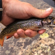
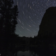
I woke up in the middle of the night to see if I could get some star pictures and was greeted by a perfectly clear sky and no moon. I was able to see the Milkyway, satellites, and even some shooting stars. The star pics didn’t come out as good as I’d hoped but I’m still getting better. Sunday we headed back out but not before I went fishing again in the lakes. I was able to catch a few small brookies, which was nice since I haven’t been fishing in ages.
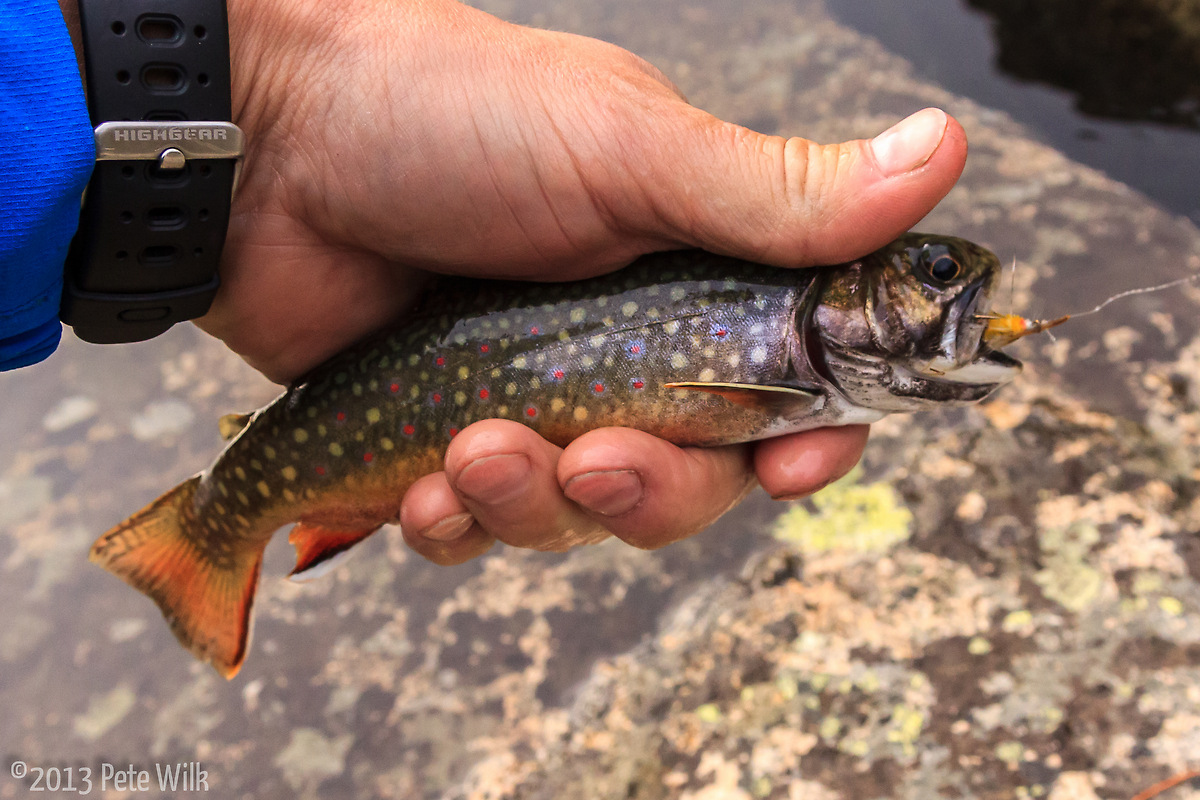
The Elephant’s Perch and the Saddleback Lakes are a great area for climbing as well as just the alpine environment. I know I’ve written this in the past but this type of area is why I moved to the West.

